
What Rugby is known for
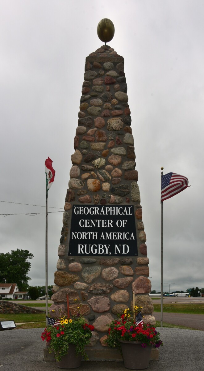
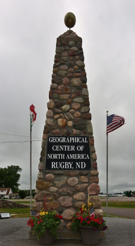
Rugby, the county seat of Pierce County, North Dakota, had 2,509 people at the 2020 census. It is known for its claim to be the geographic center of North America, marked since 1932 by a fieldstone cairn in pyramid form on a heart-shaped foundation. The town still defends the claim, down to a trademark.
The nations before the railroad
The State Historical Society of North Dakota names the Dakota and Lakota (Sioux), Assiniboine and Cheyenne as bison-hunting nations of the region, the Mandan, Hidatsa and Arikara as earthlodge-village nations, the Chippewa (Ojibway) as moving into the northern Red River Valley around 1800, and the Cree, Blackfeet and Crow as ranging the state’s western buffalo country. The sources for this story document no treaty cession for Pierce County itself. At the 2020 census, 5.3 percent of Rugby’s residents were American Indian or Alaska Native.
A junction town and a balancing point
The Great Northern Railway platted Rugby Junction in 1886 and named it for Rugby in Warwickshire, England. North Dakota’s tourism site says that in January 1931 a U.S. Geological Survey determined the center of North America in Pierce County. The method, as the Center for Land Use Interpretation describes it, finds the point on which the continent would balance if it were a plane of uniform thickness, and the Center calls it not definitive. In August 1932, by the Center’s account, W.B. and E.B. Paterson and the local Boy Scout troop built the monument.
Keeping the title
Rugby repeats the claim. It runs a Miss Geographical Center pageant, sells branded t-shirts and coffee mugs, and put an outline of North America with a dot for Rugby on its town seal. The Chamber of Commerce’s trademark on Geographical Center of North America lapsed in 2009, and Hanson’s Bar in Robinson took a rival trademark in 2016. Rugby’s mark was re-registered in August 2017, and the bar filed to surrender its competing trademark on April 4, 2018, after negotiating with the Chamber.
A center that depends on the definition
Rugby is not the only claimant. In 1923 a Pierre developer, Charles Hyde, erected a 23-foot concrete obelisk declaring Pierre the approximate center of North America. The rival claim from Robinson reportedly counted the Caribbean, unlike Rugby’s. In January 2017 Peter Rogerson, a geography professor at the University at Buffalo, placed the center at Center, North Dakota, using boundaries that left out Greenland and the far-northern Canadian islands. Cathy Jelsing, then director of Rugby’s Geographical Center Historical Society, put the town’s attachment simply: “You feel centered in the center.”
Questions people ask about Rugby
Is Rugby, North Dakota the geographic center of North America?
Rugby claims it. Wikipedia places the town about 15 miles from the center point the U.S. Geological Survey listed, and South Dakota Public Broadcasting puts the point about 18 miles north of town. Other calculations place the center elsewhere, and Roadside America reports that U.S. government mappers say they have not officially established any geographical center.
When was the center of North America calculated?
North Dakota's tourism site dates the U.S. Geological Survey's finding to January 1931, citing Survey Bulletin Number 817. South Dakota Public Broadcasting dates it to 1930, and CBS News says that around 1930 a Survey employee balanced a cutout map of North America on the top of a pin.
When was the Rugby monument built?
In August 1932. The Center for Land Use Interpretation credits builders W.B. and E.B. Paterson, working with the local Boy Scout troop. The monument was moved in July 1971, when U.S. Highway 2 was widened, and it flies the flags of the United States, Canada and Mexico.
Why is Rugby, North Dakota called Rugby?
The Great Northern Railway named it for Rugby in Warwickshire, England. It was one of several of the railway's townsites in the area named for English towns, including Berwick, Leeds, Norwich and York. The town was first platted in 1886 as Rugby Junction.
What is the Prairie Village Museum in Rugby?
It is the museum of the Geographical Center Historical Society, organized in 1959 as the Pierce County Historical Society. Its first exhibition hall was dedicated in 1969, and the society lists six exhibition halls and 20 historic buildings connected by a boardwalk.